Agency moves to add machine learning to road-safety arsenal

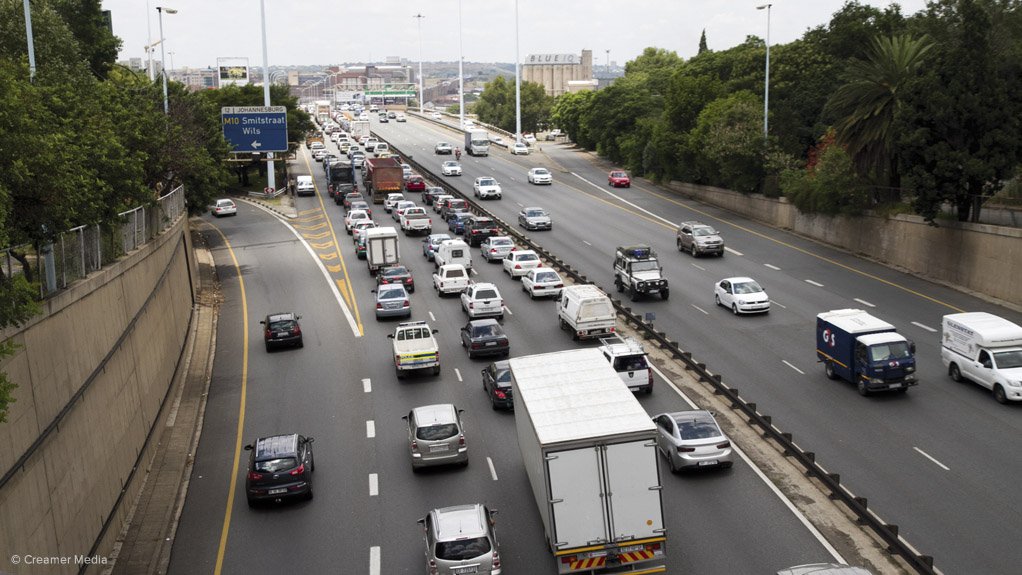
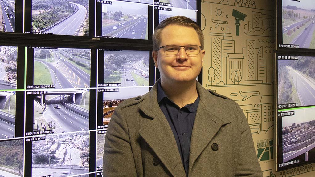
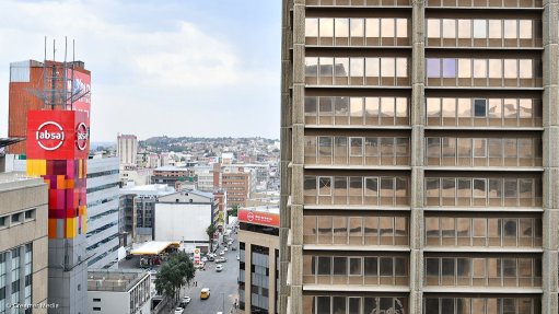
JOHANNESBURG TRAFFIC Sanral has been using Freeway Management Systems (FMS) for more than a decade in Gauteng, KwaZulu-Natal and the Western Cape
Photo by Creamer Media
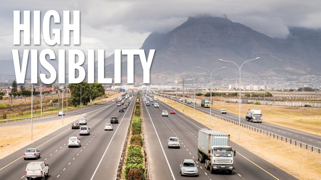
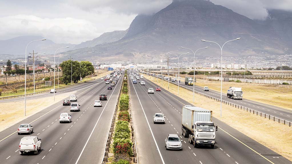
CAPE TOWN HIGHWAY Trained using historical data, machine learning models can predict the likelihood of incidents occurring on different road segments given the real-time data, such as levels of congestion, weather, time of day and average vehicle speeds, among others
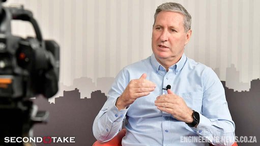
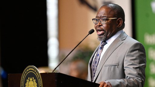
RUAN VAN BREDA Smart Mobility includes resource efficiency, customer-centricity and sustainability, underpinned by collaboration
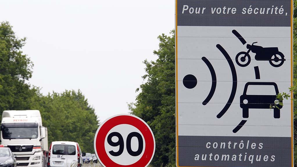
FIELD DEVICE Active sensors, such as vehicle-detection systems on specific segments or the monitoring of interchanges, can be used to validate information and ensure system accuracy
Photo by Reuters
The South African National Roads Agency Limited (Sanral) is exploring the use of machine learning to make more effective use of its data collected from field devices, such as vehicle-detection systems and cameras, and floating car data, which is a collection of anonymised road traffic data from Global Positioning System (GPS) and cellular providers.
The data is used to support infrastructure planning and the detection of and emergency response to incidents on national roads. Machine learning can enhance the use of the data for applications such as automated incident-detection and incident-prediction models, says Sanral Technology Innovation Hub (TIH) mechatronics engineer Ruan van Breda.
South Africa has a poor road safety record compared with other middle-income countries.
“Road traffic crashes have a significant socioeconomic impact. In 2015, it was estimated that road traffic crashes cost the country R143-billion, or about 3.4% of gross domestic product. By enhancing the use of our data, we hope to make better decisions regarding engineering, education and enforcement interventions. One example is the optimised deployment of resources where and when they are most needed,” he says.
To improve road safety, Sanral has been using Freeway Management Systems (FMSes) for more than a decade in Gauteng, KwaZulu-Natal and the Western Cape. These FMS systems make use of an Advanced Traffic Management System (ATMS) that allows for real-time incident management and data capture.
“The main inception point for the ATMS is to enable more efficient detection and reporting of incidents. Information from the ATMS is used to notify first responders of incidents and assist in scene management. The use of ATMS helps to reduce the time for first responders to get to a scene improving the survival rates of those involved and saving lives, as well as to reduce the impact of the incident on traffic flow by allowing quicker scene clearance.”
The Western Cape FMS has more than 250 cameras that provide real-time video, and recordings of incidents.
“Generally, an incident on Cape Town’s freeways is detected, on average, within three minutes and it takes two minutes to verify the incident and gather information, three minutes to disseminate the information to teams and two minutes before responders are dispatched.”
In addition to real-time incident management, an ATMS allows Sanral to capture incident data such as the type, location, time and severity of incidents. Additional information such as weather and congestion levels are also captured.
“A lot of effort is taken to ensure the data is clean and of high quality, and subject to various checks and balances. It is great to have such detailed historical data for planning and identifying the root cause of incidents,” he says.
Historical data has been used previously to improve planning and inform interventions.
“We can only optimise the human side of incident response so much. The FMS already has best practice post-incident meetings, reviews and analyses to improve responsiveness and dispatch. First responders are also clustered to disseminate and share information and effectively allocate resources, while first response teams are stationed near high-incident areas at peak times and during inclement weather,” explains Van Breda.
Two aspects of machine learning are being investigated. The first is the use of image recognition on camera systems for real-time incident detection. The second is the use of historical data for predictive modelling.
The use of image recognition helps to improve the detection rate of incidents from real-time video. In addition, minor incidents can be more readily detected and recorded, such as jay-walking.
“Capturing of this kind of information is beneficial to gain a better understanding of the road network and to assist in future interventions that make optimal usage of scarce resources. One example would be to use jay-walking information to identify the most suitable locations for pedestrian bridges, or an engineering intervention, areas where community engagement is required, which is an education intervention, or where more visible policing may be required, such as in hijacking hotspots, or enforcement intervention,” he says.
Predictive modelling allows the team to predict in which areas there are high likelihoods of incidents occurring based on historical data. Using historical data, these types of models can predict the likelihood of incidents occurring on different road segments given the current real-time data such as levels of congestion, weather, time of day and average vehicle speeds, among others.
“Using the likelihood maps produced, one can better prioritise where resources are allocated or on standby to respond to potential incidents. Using these models the major contributing factors to incidents can also be identified. For one segment, inclement weather might be a strong factor, indicating that an engineering intervention such as improving the road drainage may be required. In another instance, the average vehicle speeds could be a major factor, indicating that speed enforcement measures would yield the most benefit.”
“For the [ride hailing service] Uber hackathon in Cape Town, participants were provided with the traffic data and had to focus on identifying incidents without the use of video on monitored segments of the freeways. Uber also made available Uber Movement data from Uber vehicles and changes in travel patterns in and around Cape Town, which participants could use to correlate with recorded incidents.”
Participants had to focus on analysing the data available for incidents outside the monitored segment to determine what the indicators, patterns, influences and factors were before an incident and the subsequent information on its impact on traffic flow and how long it took traffic to resume normal patterns after the incident was cleared.
“This has an important use in prevention, as identifying hot spots for incidents or congestion can highlight the need for an engineering solution to address a problem in road design or use, such as congestion at an interchange, or congestion at an interchange, owing to delays at feed-in crossings, or intermittent flooding contributing to incidents in an area. The analysis of available data can provide detailed input for civil engineering and road construction.”
Additionally, the pilot project presents evidence that the detection of some problems can be done using existing datasets.
For example, the automated generation of information for the diversion of traffic, including providing time for the typical congestion associated with an incident on that segment of freeway to clear, can be done using available data.
Rural Applications
“FMSes are in place in the major metros, but effective rural freeway management is much more onerous as incidents and vehicles are spread much more widely, and this is where machine learning can add value by using other data sources and other methods of detection that are also often cheaper to use to determine irregular traffic patterns and thereby identify incidents or congestion.
“For example, our research partner the Stellenbosch University Smart Mobility Laboratory has been doing a lot of work using floating car data (FCD). FCD makes use of vehicle information obtained indirectly through devices such as mobile phones or GPS. They have found that a system needs as little as 5% of vehicles to make use of such devices to be able to obtain representative information of the total vehicle population for a road segment. This information can be further augmented with active sensors such as vehicle-detection systems on specific segments, or the monitoring of interchanges to validate and ensure system accuracy.”
“This is one of the techniques that Sanral is investigating for use in the Eastern Cape for rural freeway management. The use of FCD from vehicles, combined with data from monitored road segments, can be used to detect and manage incidents without the need for expensive, invasive monitoring across the full extent of the province’s highways. This limits the need for field devices, such as cameras and vehicle-detection systems,” Van Breda explains.
While this will not provide the same data as a camera-monitored road network, which is unrealistic on the province’s national roads, it can serve as a foundation on which systems can be built and more data can be added.
Modelling of the data helps to determine how detection can be improved, including using data to detect incidents outside camera- monitored segments, and more data makes detection more accurate, he explains.
Sanral’s TIH is investigating the suitable balance between FCD and active road sensors and vehicle detection systems, such as radar and magnetometers, to classify and monitor traffic on rural segments of national roads, he adds.
Data aggregated and processed using machine learning can also be used to determine whether an infrastructure intervention, such as a new bridge, off-ramp or traffic light, has been effective in reducing incidents, congestion and travel times.
“This can even be accurately determined to how many vehicle-hours a week have been reduced by the new infrastructure, and modelling can be used to link such time savings to economic benefits to justify projects.”
Van Breda adds that other data that is not being considered during the pilot project can be added to broaden the information that is available, such as from commercial vehicle tracking and monitoring systems and accelerometer data, including potentially from personal cellphones, that can be used to identify potholes, uneven road surfaces or even debris on the road.
However, machine learning is most effective in highlighting areas of concern, and traffic and road civil engineers will need to do in-depth analyses to serve as the foundation of their designs, he emphasises.
Sanral is drafting its Smart Mobility Strategy. Van Breda explains that Smart Mobility extends beyond mobility and is concerned with promoting resource efficiency, customer-centricity and sustain- ability. Some examples of the efficient use of resources is smart city systems such as urban parking allocation, smart street lighting and the use of IoT devices for the remote detection of equipment tampering, vandalism and theft.
“A big aspect of smart mobility is integrated systems and collaboration. Sanral is cognisant of its mandate as a national mobility provider in South Africa and recognises that there is much that falls outside its scope. We cannot do it alone and this is why we must establish appropriate intergovernmental and private-sector partnerships, backed by public engagement and transparent processes. Lots of work remains to be done on this aspect,” he says.
Stakeholder collaboration and having a Smart Mobility system in place can allow for partnering with tracking and vehicle technology companies to get access to granular, anonymised data that can augment road systems. However, more work is needed to determine how and what data can and should be incorporated and there is not yet a formal, uniform way for the sharing of road data, even among government departments, agencies and roads authorities.
“The vision is to use all applicable technologies to ensure national roads help to deliver a better South Africa for all. Smart Mobility solutions need to be sustainable and make effective use of the available resource. We need interventions to enable development and expand economic opportunities in the country by having an efficient road system.”
During the next decade, Sanral, through the TIH, wants to improve road data standards and produce better systems that integrate with the public and government systems, as well as allow the sharing of relevant information that is applicable to the other agencies.
“We are busy with incident analytics and detection, and we are in negotiations with other agencies to link with their databases to augment our datasets and cross-validate the data to improve the accuracy in terms of identifying incident types and as a way to address managed interventions,” Van Breda concludes.
Article Enquiry
Email Article
Save Article
Feedback
To advertise email advertising@creamermedia.co.za or click here
Press Office
Announcements
What's On
Subscribe to improve your user experience...
Option 1 (equivalent of R125 a month):
Receive a weekly copy of Creamer Media's Engineering News & Mining Weekly magazine
(print copy for those in South Africa and e-magazine for those outside of South Africa)
Receive daily email newsletters
Access to full search results
Access archive of magazine back copies
Access to Projects in Progress
Access to ONE Research Report of your choice in PDF format
Option 2 (equivalent of R375 a month):
All benefits from Option 1
PLUS
Access to Creamer Media's Research Channel Africa for ALL Research Reports, in PDF format, on various industrial and mining sectors
including Electricity; Water; Energy Transition; Hydrogen; Roads, Rail and Ports; Coal; Gold; Platinum; Battery Metals; etc.
Already a subscriber?
Forgotten your password?
Receive weekly copy of Creamer Media's Engineering News & Mining Weekly magazine (print copy for those in South Africa and e-magazine for those outside of South Africa)
➕
Recieve daily email newsletters
➕
Access to full search results
➕
Access archive of magazine back copies
➕
Access to Projects in Progress
➕
Access to ONE Research Report of your choice in PDF format
RESEARCH CHANNEL AFRICA
R4500 (equivalent of R375 a month)
SUBSCRIBEAll benefits from Option 1
➕
Access to Creamer Media's Research Channel Africa for ALL Research Reports on various industrial and mining sectors, in PDF format, including on:
Electricity
➕
Water
➕
Energy Transition
➕
Hydrogen
➕
Roads, Rail and Ports
➕
Coal
➕
Gold
➕
Platinum
➕
Battery Metals
➕
etc.
Receive all benefits from Option 1 or Option 2 delivered to numerous people at your company
➕
Multiple User names and Passwords for simultaneous log-ins
➕
Intranet integration access to all in your organisation


